Palmer River Goldfields
The turn off is 68km north of Mount Carbine - turn/off coordinates from the bitumen UTM 55 256 946E 82 03 400N . From the turn-off on the highway a dirt track (Whites Creek Road) continues out to Maytown – this can be very rough and slow going depending on when the road was graded last.
The northern access is via the Old Maytown-Laura Road which is a legendary 4WD track only suited for experienced drivers with well-equipped, high-4WD vehicles. It is recommended to travel in convoy and some sections may require a winch.
Roads are impassable in the wet season from November to April when flash flooding can occur. Sidetracks are restricted access.
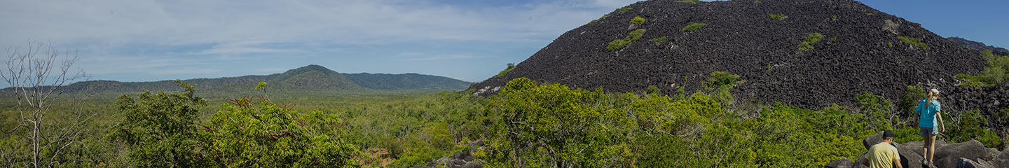
Today old mines, rusting machinery, Chinese alluvial workings and traces of the Maytown township are all that remain of the once thriving settlements which sprang up around the Palmer Goldfield over 100 years ago.
Mining does still occur at the Reserve and metal detecting is not allowed.
There are two designated camping areas in the reserve; one on the southern side of the north Palmer River and the other at Dog Leg Crossing on the north bank of the Palmer River. There are no facilities at either of these camping areas and campers need to be totally self-sufficient. Camping permits are required and fees apply.
See further information on the history of the Palmer River Goldfields